Doing exercise, discovering natural landscapes full of charm at your own pace, peeking into the past of other towns and cities … We would need much more than a post to summarize the many advantages of hiking. However, if you have arrived here, we can guess that you already have your reasons to put on your walking boots and start trekking, right? Therefore, and because we know that what you are looking for are suggestions to get to know the largest of the Balearic Islands, we have selected some of the best circular hiking trails in Majorca, so you can get to the area with your rental car without problems and return from the same point to the place where you are accommodates.
Forget about worrying about timetables, the number of buses and public transport routes, may they be for a train or bus. With our rent-a-car in Majorca, you will always have a vehicle at your disposal so you can move freely around the island and take everything you need with you: backpacks, food for the whole day, telescopic poles …
If you want to take advantage of your holidays in Majorca to try active tourism, take note of these proposals. It will be hard to pick just one!
From Deià to Cala Deià
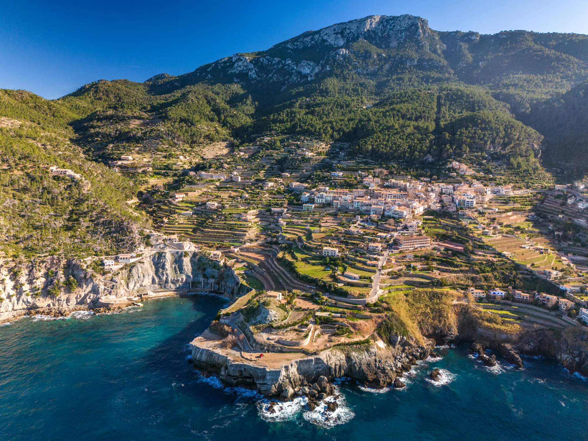
The beautiful town of Deià, located on the west coast of Majorca, is one of the most picturesque villages in the Serra de Tramuntana region, as well as a magnificent balcony overlooking the Mediterranean. To get to know it, there is nothing better than this walking route, recommended for those who have in mind to travel to Majorca with children, since it not very difficult and it takes no more than 1 hour and 30 minutes, at a slow pace, to complete this hiking trail.
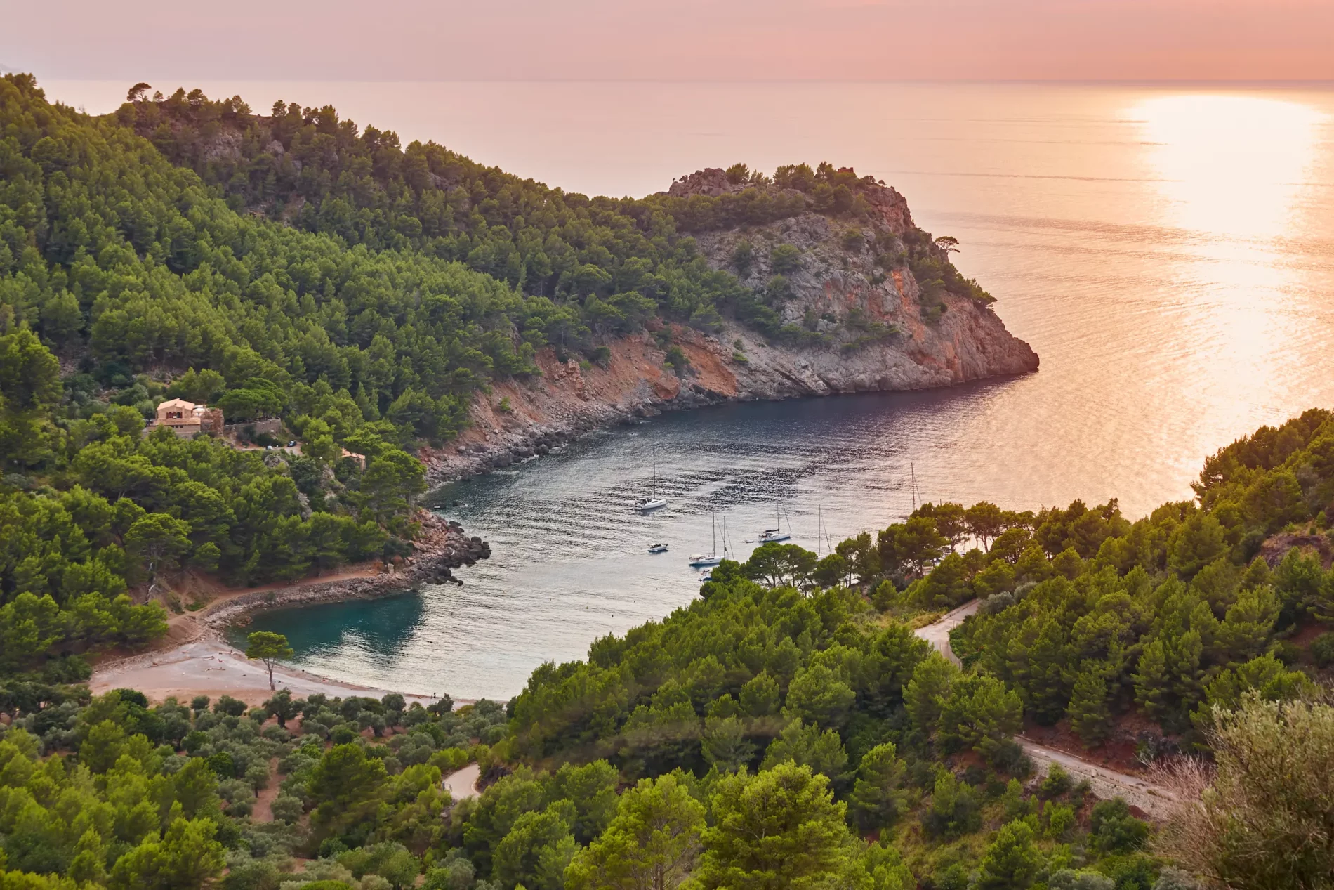
The trail starts at the Refugi de Can Boi, at number 5 on carrer d’Es Clot. From there, a wooden sign marks the beginning of the route. Although it is easy to follow the road, you must follow the signs, so you do not drift away from the itinerary. In the final section, the Torrent Major is crossed by the bridge of Sa Cala. This path leaves the main road behind, and descends to the beautiful Cala Deià. Pleasant fishing boats and impressive views await us on this beach. Hence, this is an ideal place to eat.
Although to return you go back the way you came, the most advisable is to return by the road and follow it, leaving the bridge that we crossed before to the right. Shortly after, on the left, a sign points to the way back to Deià. It is a section of the Pedra en Sec-GR 221 route, which connects Sóller with Deià and leads directly to the center of Deià.
Puig de Sant Martí from Alcúdia
The Puig de Sant Martí is a mountain that is framed to the southwest of Alcúdia, and that you can discover on a simple and pleasant walk. This circular excursion begins and ends in the Plaça de la Porta de Mallorca, in Alcúdia. From there, you have to leave this town to the west and take the road to Església or Pla d’en Beltran, which runs parallel to the road from Alcúdia to Palma de Mallorca. After crossing the first road, and about 20 minutes later, you will have to cross another one: the Puig road. Going straight, after 10 minutes we will come across a petrol station on the Alcúdia-Palma highway. Once there, you have to continue until you reach the roundabout on the new road. After passing it, you will reach the Camí del Poble Nou. You will recognize it without problems thanks to the pine forest that remains to the left and the cultivated lands that unfold to the right. Ascend for 20 minutes until you reach the detour that goes up to the mountain (the detour is on the left and, on the right, there is the Poble Nou village, which gives the road its name). The climb to the top takes no more than a quarter of an hour, and the distance between the two summits of the Puig Martí is covered in about 10 minutes.
Once at the top of the antennas, you have to retrace your steps. In about 20 minutes you will reach the crossroads. When you reach it, you have to follow the same path and, half an hour later, you will reach the cave of Sant Martí, after having crossed the Murterar road. The return to Alcúdia is made going down until finding a roundabout 300 m below. Right after, there is a narrow path, which you have to follow until Bellevue (it will take about 20 minutes). Crossing it, you reach Pere Mas i Reus. Turning to the left, and at the end of the street, is the Puig road, which we will follow for 20 minutes until we find a detour to the right, past the new road, which will take us to the starting point after 20 minutes.


Camí de l’Arxiduc
The Camí de l’Arxiduc is the best known of the trails built by Archduke Ludwig Salvator of Austria. He himself was commissioned to trace it in 1883, the date on which he acquired the Son Moragues estate in Valldemossa. Following it, you reach the snow house of Son Moragues. Unlike the rest of the old paths of the Tramuntana mountains, it lacked profit: in fact, the archduke created it to enjoy the magnificent views offered by the nearby cliffs, where the imposing image of Sa Foradada will leave you breathless.
The excursion is of medium difficulty and 11.2 km in length. Its duration is about 5.5 hours and the itinerary is not marked. This circular route starts from the town of Valldemossa -famous for its charterhouse- and continues through Pla des Pouet, the viewpoint of Ses Puntes, the Talaia Vella (Refuge of the Archduke), Puig de Caragolí, Pas de’n Miquel, Puig des Teix and Refugi des Cairats, to return to Valldemossa later on. Along the way, the archduke also ordered the construction of lookouts and refuges, some of which are still preserved and allow the traveler to enjoy the Majorcan landscapes.
Hermitage of Maristel·la and Sa Fita del Ram
It is a medium difficulty hiking trail to a viewpoint located over the village of Esporles, in the southwest of the Tramuntana mountains, and from where you will enjoy incomparable views over the bay of Palma and the nearby mountains, such as Sa Mola, the Mount of Galatzó or Na Bauçana. The road begins in the town of Esporles and leads to the hermitage of Maristel·la, from where the Fita del Ram is reached.
This route has an approximate distance of 6 km, a maximum height of 841 m and a minimum height of 181 m. Much of the road will take you between oaks and an undergrowth of strawberry trees and shrubs.
Cove and village of Estellencs
On our circular hiking trails in Majorca, the evocative village of Estellencs could not be missed, just a short distance from the western coast of Majorca and in the Tramuntana mountains. With a population of just 350 inhabitants, its streets are a haven of tranquility and an invitation to travel back in time. The route, which starts in the old town, will allow you to contemplate the tower of Tem Alemany and the church of Sant Joan Baptista, with a fortified appearance. To get to the nearest cove, the Estellenc cove – closed between Ses Pedrisses and La Pedra del Vicari-, you can go down the winding road to the sea, which passes through a residential tourist complex. Once in the square, and if your trip to Majorca takes place in summer, you can take the opportunity to take a refreshing swim. To return, simply go back the way you came.
However, if you want to buy time, you can do this tour with one of our rental cars in Majorca.
So, these are circular hiking trails in Majorca that we suggest. We hope you have been lured to visit this magnificent island. Of course, if you have other proposals, do not hesitate to share them with us: we will be happy to expand the list.


